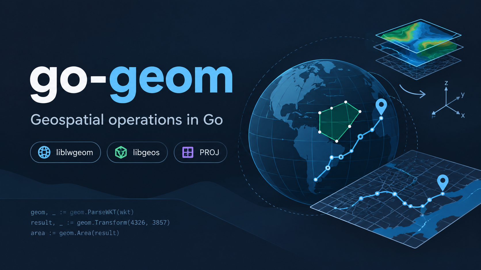
A project I worked on some time ago that I still look back on with a lot of interest is go-geom, a Go library for geospatial operations.
It was an effort to bring some of the capabilities of established C/C++ geospatial libraries such as GEOS, liblwgeom, and PROJ into the Go ecosystem through Go bindings. It supported operations such as geometry manipulation, coordinate transformations, buffering, GeoJSON/WKT handling, and other geospatial calculations.
What made the project interesting was working at the boundary between Go and native C/C++ code. It was a great learning experience in areas such as CGO, memory management, native library integration, and understanding how complex geospatial algorithms are implemented underneath higher-level APIs.
It was completed several years ago, but it remains one of the projects I really enjoyed working on. It just brings back some nostalgic memories. :)